


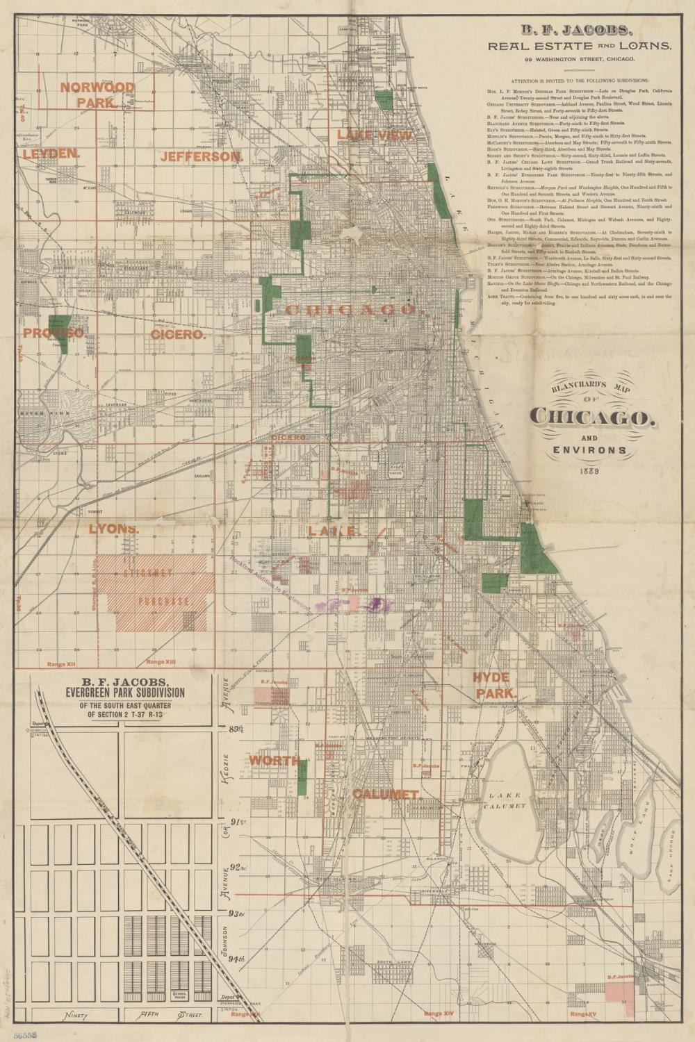
Our Chicago 1889 Map wallpaper brings nineteenth-century cartography to life with exceptional fine detail. Based on historical city records, the design shows the layout of Chicago during a formative era, tracing intricate railway lines, arterial streets, and surrounding districts such as Hyde Park, Lake View, and Norwood Park. Black line work defines the dense urban grid, balanced by bold red place names and muted green parkland set against an aged cream backdrop with subtle paper creases. Custom made to measure and completely PVC-free, this design offers an authentic archival look across any feature wall.

Wallpaper - Chicago 1889 Map
Available as
Premium
Our classic, go-anywhere premium paper
- Matte finish
- Paste application
- Easy to install
Popular choice 45 €/m²
Premium Textured
Our most luxurious paper with a slightly textured surface
- Textured matte finish
- Paste application
- Easy to install
Peel & Stick
Our premium self-adhesive paper with a matte finish
- Matte finish
- Self-adhesive
- Removable and easy to install
Always with Wallism
Won’t fade in sunlight
Non-glare
Eco-friendly and 100% PVC-free
Fire rated Class A
Non-woven material
Product info
Name
Chicago 1889 Map
Design by
Wild Apple Portfolio
Type
Mural
Wallism ID (MPN)
dyO28jmW2Dqk
More like this
Save
39 €/
m²
3 days left! - Save 15% with code WALL15
Enter wallpaper dimensions
Width
cm
Height
cm
Add 7-10 cm of extra margin
 Made in Sweden
  30-day money-back guarantee
  Free shipping
  Ships within 2-5 days
 Wallpaper sample
3 € Printed on our premium wallpaper
  Scaled to show the actual image Free shipping
  Delivery time 6-11 business days
 Loading ....
Loading..
How Wallism works

Choose your design
Pick a design from our collection of wallpaper murals.

Measure your wall
Measure your wall and enter the full width and height to see your price.
We produce and deliver
After a review, we produce your order and ship it within 2-5 days.
Loading ....
Loading..